Hiking Trails
Toutes les fiches « Hiking Trails » (271)
Filters
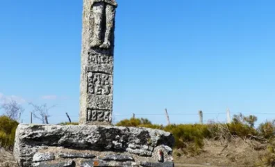
La croix du Cayre
Info route 1 From the village square of Alpuech, take the road to Vitrac en Viadène for 100 m. At the end of the village, after the farm buildings and at the cross, turn right. Pas…
View details →
Randonnée "Le chemin des lacs"
Parking: place François Mitterrand. 3h-11km ? 1*- elevation gain 200m ? yellow markings A-Ride up the main street for 100m to the D507 (towards Camboulazet). Follow the road to the…
View details →
Sentiers pédestre et VTT autour du lac du Val de Lenne
If you like walking, running or mountain biking, you're sure to find something to suit you on the trails around Lac de Lenne, whatever your level. Starting from the beach at the Ce…
View details →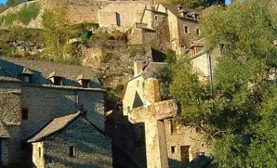
Circuit des Crêtes
Length : 2,5km Duration : 45min Difficulty: Medium, steep slope Start : in front of the Old Bridge Marking : Yellow The castle of Belcastel (private property), was founded around …
View details →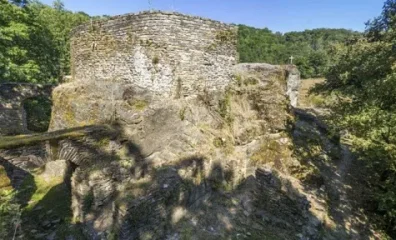
Le Lourdou - Chemin de Croix
Length : 3 km Duration: 1 hour Difficulty : Easy Departure : in front of the Old Bridge Marking : Yellow The fort of Roc d'Anglars, classified as an archeological site, was a …
View details →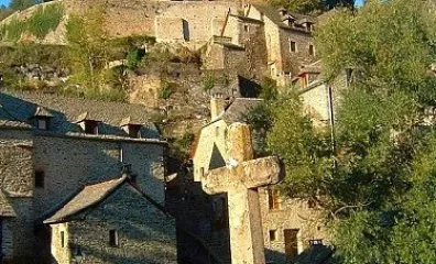
Le Luc par la voie Romaine
Length : 7km Duration : 2 hours 30 min Difficulty: Easy Departure : in front of the Old Bridge Marking : Yellow The castle of Belcastel (private property) was founded around 1…
View details →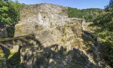
Le Roc d'Anglars - Le Lourdou
Length: 7 km Duration: 2 hours Difficulty: Medium Start: opposite Vieux Pont Marking: Yellow on the outward journey and red and white on the return journey The Roc d'Anglars fort, …
View details →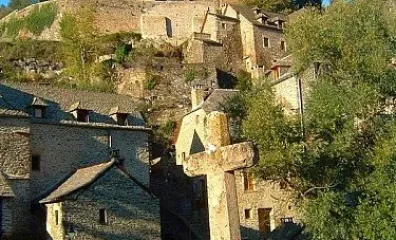
Le Tour de Belcastel par la passerelle
Length : 1km Duration : 30min Difficulty: easy, lighted circuit all summer long Departure : in front of the Old Bridge Marking : Yellow The castle of Belcastel (private proper…
View details →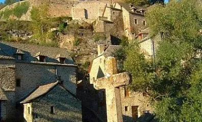
Sentier médiéval
Length : 15 km Duration: between 4 and 5 hours Difficulty: accessible to all Departure : parking lot of the swimming pool of Rignac Marking : wooden panels "Medieval route" This t…
View details →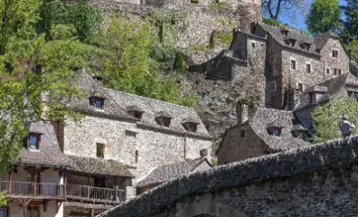
Sentier médiéval
Practical information The hiker follows the itinerary at his own risk. He remains solely responsible, not only for any accidents he may suffer, but also for any damage he may caus…
View details →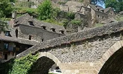
Une partie de l'Ancien Chemin de Saint Jacques de Compostelle
Length : 10,5km Duration : 3 hours 30 min Difficulty: Medium Departure : in front of the Old Bridge Marking : Yellow The castle of Belcastel (private property) was founded aro…
View details →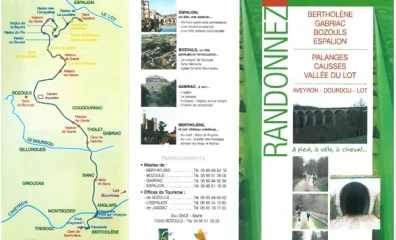
Ancienne voie ferrée Bertholène - Bozouls - Espalion
This old railroad track climbs gently from Bertholène to Bozouls, then descends at a 3% grade in switchbacks, passing through several tunnels and over viaducts, all the way to Espa…
View details →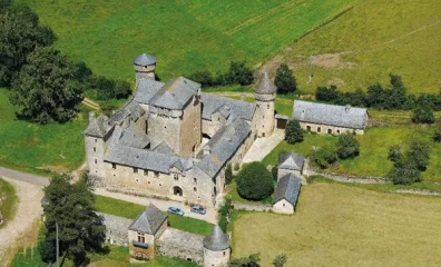
Randonnée Bertholène
Departure: Anglars (Bertholène) Difficulty: medium Distance: 14 km Duration: 3 hours 30 minutes Difference in height: 100 m
View details →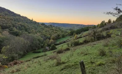
Trail d'Aqui - Bessuéjouls
A start in a pilgrim village! From April to November, you're likely to come across many hikers going the wrong way. The first 5 km are surely the least pleasant of the route: it's …
View details →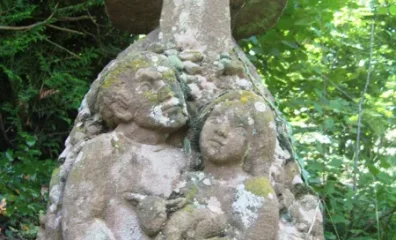
La Boriette
And so it was in a very pragmatic way that the elders had named this place, which—judging by the buildings of the old farm—was quite modest in size. Despite this, the Boriette farm…
View details →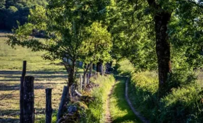
La fontaine
And it was precisely to harness this water that people built numerous fountains, wells, and washhouses throughout the town. These structures served many purposes: a water source fo…
View details →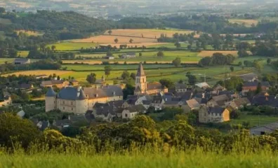
Le chemin de Mandrin
The beauty and uniqueness of this village stem not only from its Renaissance castle but also from the old town. Remnants of the fortifications, including two entrance gates, are we…
View details →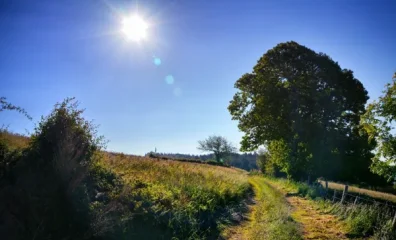
Le chemin des dames
Under the impulse of a group of inhabitants of the commune of Bournazel, the information office and the town hall of Bournazel joined together to carry out an important work of reo…
View details →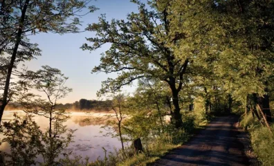
Les étangs
At the initiative of a group of residents from the town of Bournazel, the Bournazel Information Office and Town Hall have joined forces to carry out a major project to reopen rural…
View details →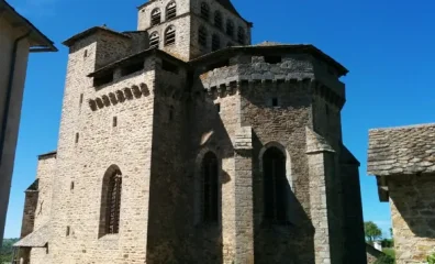
Randonnée "Le ruisseau de Marsende"
Parking: stadium 2h15- 6.5km ? ascent 250m ? Yellow markings A-From the stadium, take the road up to Sicarie (leave the entrance to the arboretum on the left and the Membre road on…
View details →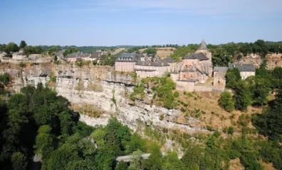
Randonnée Bozouls
PR 26, the geological site of Bozouls. In the secondary limestones of the Comtal causse, the Dourdou has carved deep gorges. The most exceptional meander of the river constitutes t…
View details →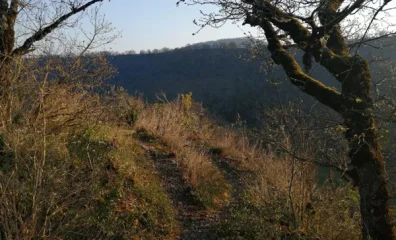
Trail d'Aqui - Bozouls
What a sight to see as you start out on the side of the canyon! You will ride along this geological curiosity and you will have 3km of flat as a warm up. On the tracks of the famo…
View details →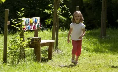
Sentier de l'imaginaire : circuit "Au fil de l'eau"
A leisurely loop along the Siniq and Bromme rivers to start with, and up above the village of Brommat on the way back. This hike is incredibly flowery in spring and remains the ide…
View details →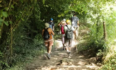
Randonnée "Circuit de Sainte Marthe"
Parking: church square 2h ? 7km ? 1* - ascent 230m ? yellow markings A-From the church square, take the road south-west towards the hamlets of Lespital and La Bégonie. Go straight …
View details →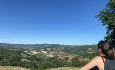
On the paths of the women of the land
This route is dedicated to the women of the land: at once mothers, seed-sowers, farmers, cooks, attentive to parish life and to the cohesion of the village, rich in traditional kno…
View details →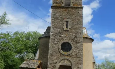
Randonnée "Les 4 clochers"
Parking: Place de l'église, Calmont. Signposted walk (yellow + signs). ::D:: Depart from Place de l'église in Calmont. Get off in front of the town hall, follow rue Longue to the N…
View details →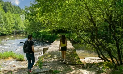
Randonnée "Vallée de la Nauze - Site de Versailles"
Parking: church square 3h (variant 3h15) ? 10km (variant 11km) ? 2* - ascent 300m ? yellow markings A-Passing behind the town hall, follow the road towards Noyes for 400m. At the P…
View details →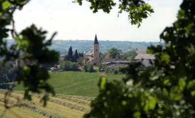
Randonnée "La vallée du Congorbes"
Parking place du village 2h15- 8km- 1*- elevation gain 250m ? yellow markings A-From Frons church square, head towards La Vialette. In the village of La Vialette, turn left and the…
View details →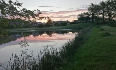
Trail d'Aqui - Campuac
With almost 2/3 of the course on single-track, get ready to have a blast, in every sense of the word! The first 3 km get you in the mood, with a sublime forest in easy enjoyment mo…
View details →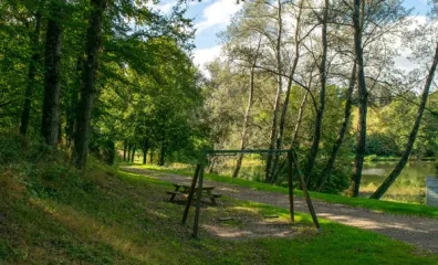
Circuits "Deux chemins, deux écoles"
Village schoolchildren, in collaboration with the Comité Départemental de la Randonnée Pédestre de l'Aveyron, have created a series of hiking trails. The topoguide containing detai…
View details →
Randonnée "Le chemin des verriers"
Easy parking on site, in the village of Le Bousquet Saint-Amans (starting point). Distance: 8.35km. Time: 3h. Difference in altitude: 232m.* Yellow markings. Path sometimes muddy a…
View details →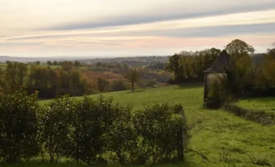
Randonnée "Autour de Lardeyrolles"
From the Lardeyrolles church, this loop will take you to discover our local villages: le Mas le Viel, Marsande, La Sicardie and La Sarette. Hiking map available in pdf.
View details →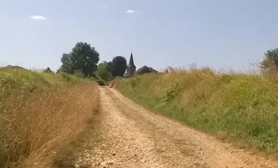
Randonnée "La vallée du Lieux"
Parking: Place de la mairie, Castanet (camper van park) 2h -6km ? 1* - ascent 210m ? yellow markings A-From the town hall and school, climb 40m to the calvary. Turn right onto the …
View details →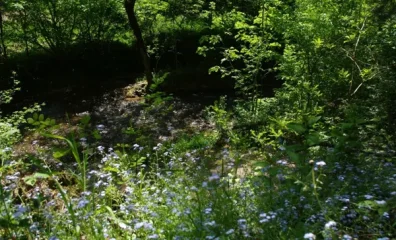
Randonnée "Entre Lézert et Viaur"
Parking: Lavernhe village hall 2h30 -9km -1* - ascent 185m ? yellow markings A-From the village hall, on the south side, turn right onto a narrow street leading to the D226. Follow…
View details →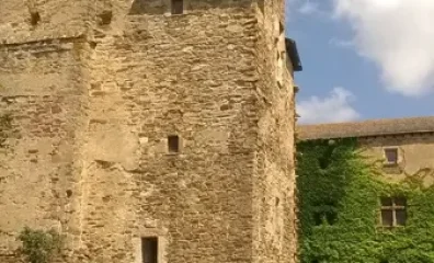
Randonnée "Chemin de la farine"
Parking: in front of the castle. 2h ? 6km ? 1* - elevation gain 200m ? yellow markings A-From the square in front of the château entrance, leave the main street to the right and fo…
View details →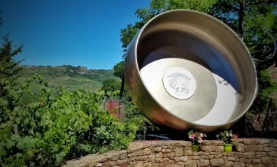
Balade autour de Clairvaux : le village de Bruéjouls
Nestled in a wine-growing valley, discover this village with its typical Rougier red sandstone houses.
View details →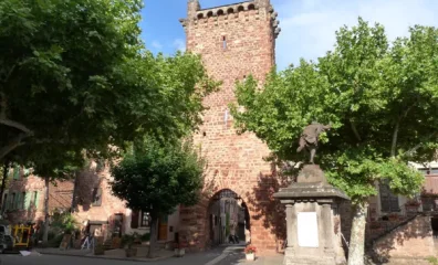
Balade à Clairvaux
Get some height with this walk that takes you to the Château de Panat.
View details →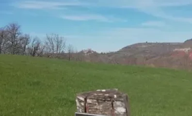
Parcours Trail Bruéjouls n° 5
Half of this course was opened by the locals. A first part to warm up in the vineyards, staying on the red tracks of the valley. Then you go up through fields used for sheep grazin…
View details →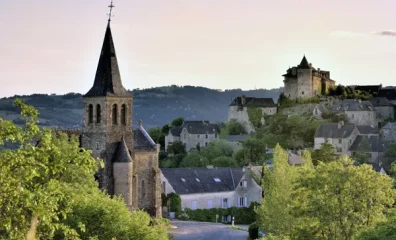
Randonnée Clairvaux - Le Puech du Puot
In the heart of the vineyard, the slopes of Clairvaux, Bruéjouls and Cassagnes are an essential part of the Marcillac PDO area.
View details →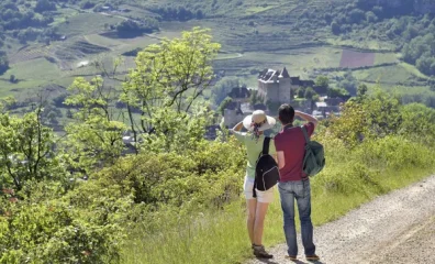
Randonnée Clairvaux - Le Vallon de Clairvaux
A hike offering very contrasting landscapes (vineyards, causses) and beautiful views over the Clairvaux valley.
View details →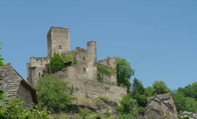
Randonnée "Vers le site de Belcastel"
Parking: at the entrance to the hamlet (Montillas fork) 3h ? 9km ? 2* - ascent 390m ? yellow markings A-A 100m after the hamlet of La Roquette on route de la Vernhe, turn left onto…
View details →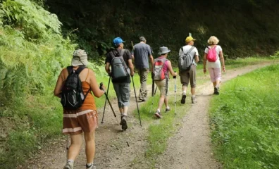
Randonnées à Colombiès
Six hikes in the Colombiès commune: Colombiès - Les Cabanes - Merlet. Start: route de Pers, at the weighbridge just past the "Les Colombes" retirement home. 10km, 2h30, ascent 135m…
View details →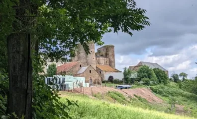
Randonnée en itinérance "Le chemin des moines"
From the Abbey of Bonnecombe, follow in the footsteps of its former occupants, the Cistercian monks, who left to join their estates in the Tarn, Bar and Bernac, which were called "…
View details →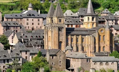
Le GR®65 - Le chemin de Saint-Jacques de Compostelle : Étape n° 5 : Conques – Decazeville
Relive the great adventure of pilgrims on their way to Santiago de Compostela, and discover a magical section of the Via Podiensis (GR® 65) which crosses the Aveyron département. T…
View details →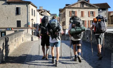
Le chemin Conques -Toulouse (itinéraire de liaison jacquaire)
- Distance : 225 km - Duration : 12 days - Marking : White / Red GR - Altitude : from 100 to 575 m - Recommended period : from April to October Stage Conques - Cransac les Thermes…
View details →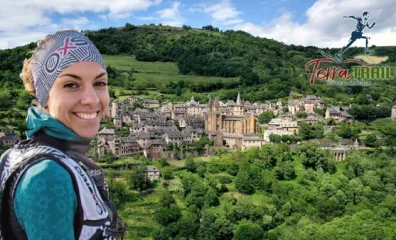
Parcours Trail Conques n° 7
A ne pas manquer: Le Trésor de Conques est l’ensemble d’orfèvrerie le plus riche de France. Il est constitué de nombreux reliquaires, recouverts d’or, d’argent et de pierres précie…
View details →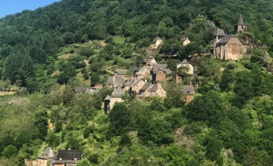
Parcours Trail Grand-Vabre n° 10
ON THE WAY : - dadon chapel, - parish church (15th c.) and high relief of the Piéta (15th c.), - chapel of Saint-Roch and Vierge de la Paix, - la Vinzelle site.
View details →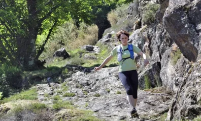
Parcours Trail La Vinzelle n° 2
From the mythical village of Conques to the charm of La Vinzelle, come and explore this very wild trail for a workout of the basics and the difference in altitude.
View details →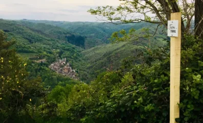
Parcours Trail Mini KV Conques
A mini KV for a maximum of sensations
View details →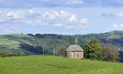
Parcours Trail Noailhac n° 4
An ideal trail for beginners. It offers low mileage, while traversing pleasant undergrowth trails that are not very technical, but still wild enough. The return journey follows the…
View details →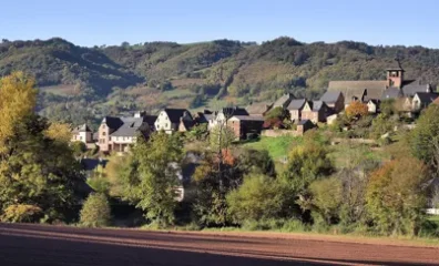
Parcours Trail Saint-Cyprien n° 13
The course starts with a very rolling section to the Sanhes mill for an optimal warm up. Then you will start a long and gentle climb in the undergrowth. After crossing the road, th…
View details →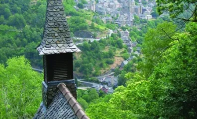
Randonnée - La chapelle Sainte-Foy de Conques
He started a community of Benedictine monks. Two facts explain the influence of this abbey in medieval Christianity: - around the year 866, the arrival of the relics of Saint Foy,…
View details →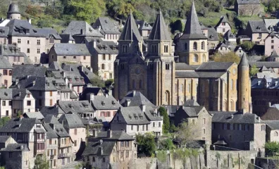
Randonnée Conques - Le chemin de Dadon
He started a community of Benedictine monks. Two facts explain the influence of this abbey in medieval Christianity: - around the year 866, the arrival of the relics of Saint Foy,…
View details →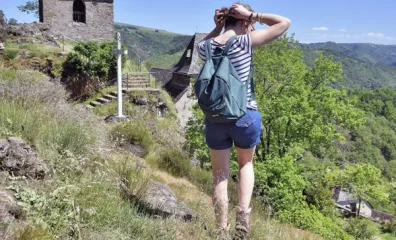
Randonnée Grand-Vabre - La Vinzelle
A wild and contrasted nature, an exceptional panorama on the Lot valley.
View details →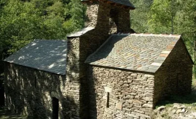
Randonnée Grand-Vabre - Monédiès
Pre-Romanesque chapel (restored) on the edge of a stream, it was attached to the Benedictine abbey of Conques. Its construction is characteristic of the pre-Romanesque chapels of t…
View details →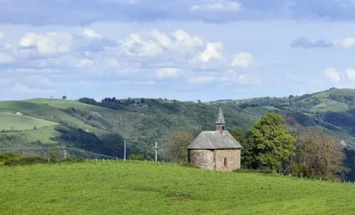
Randonnée Noailhac - Le sentier du Rébouscou
A magnificent panorama of the Rouergue and the Auvergne
View details →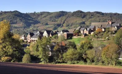
Randonnée Saint-Cyprien - Le sentier des croix
Houses of red sandstone in a green setting.
View details →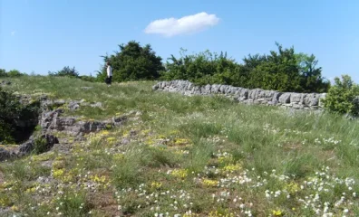
Randonnée Le plateau du Guilhaumard - PR44
Between the Sorgue and Orb valleys, this hike takes you to the Guilhaumard plateau to discover ruiniform chaos, resurgence, avens and caves, which are characteristic of the karstic…
View details →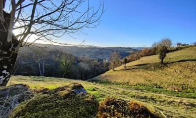
Trail d'Aqui - Coubisou
Right from the start, you?re in the mood! It's uphill, but it's beautiful! After Le Colombier, we switch to the first valley where we wind our way through the fields. From Murat to…
View details →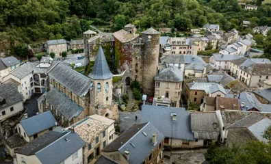
Vérouls Trail
Resembling small built islets, suddenly emerging around the bends of a hilly and forested landscape, the hamlets of Coupiac invite you to a timeless loop. Or perhaps it is the redi…
View details →