Equestrian Routes
Toutes les fiches « Equestrian Routes » (14)
Filters
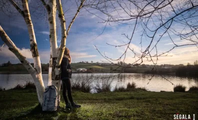
Randonnée "Le chemin des lacs"
Parking: place François Mitterrand. 3h-11km ? 1*- elevation gain 200m ? yellow markings A-Ride up the main street for 100m to the D507 (towards Camboulazet). Follow the road to the…
View details →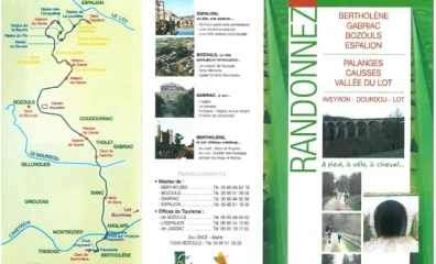
Ancienne voie ferrée Bertholène - Bozouls - Espalion
This old railroad track climbs gently from Bertholène to Bozouls, then descends at a 3% grade in switchbacks, passing through several tunnels and over viaducts, all the way to Espa…
View details →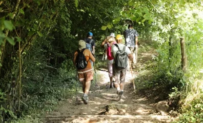
Randonnée "Circuit de Sainte Marthe"
Parking: church square 2h ? 7km ? 1* - ascent 230m ? yellow markings A-From the church square, take the road south-west towards the hamlets of Lespital and La Bégonie. Go straight …
View details →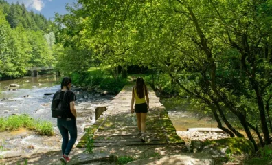
Randonnée "Vallée de la Nauze - Site de Versailles"
Parking: church square 3h (variant 3h15) ? 10km (variant 11km) ? 2* - ascent 300m ? yellow markings A-Passing behind the town hall, follow the road towards Noyes for 400m. At the P…
View details →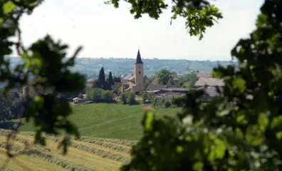
Randonnée "La vallée du Congorbes"
Parking place du village 2h15- 8km- 1*- elevation gain 250m ? yellow markings A-From Frons church square, head towards La Vialette. In the village of La Vialette, turn left and the…
View details →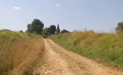
Randonnée "La vallée du Lieux"
Parking: Place de la mairie, Castanet (camper van park) 2h -6km ? 1* - ascent 210m ? yellow markings A-From the town hall and school, climb 40m to the calvary. Turn right onto the …
View details →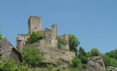
Randonnée "Vers le site de Belcastel"
Parking: at the entrance to the hamlet (Montillas fork) 3h ? 9km ? 2* - ascent 390m ? yellow markings A-A 100m after the hamlet of La Roquette on route de la Vernhe, turn left onto…
View details →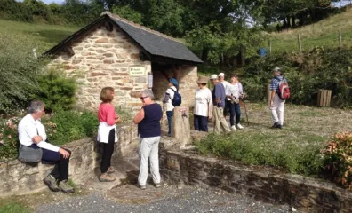
Randonnée "Le sentier des anciens moulins"
Parking: at the entrance to the village, opposite the Dominican convent. 2h30-8km ? 1*- elevation gain 210m ? yellow markings A-From the Dominican convent, take the Route de la Gar…
View details →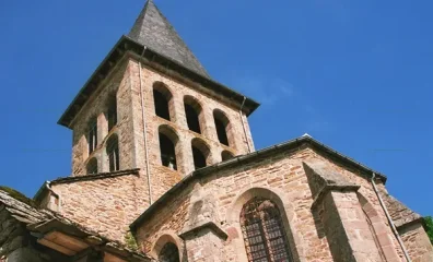
Randonnée "Un riche terroir"
Parking: place de la mairie 3h15- 11.5km- 1* - ascent 400m ? yellow markings A-Hike up the main street for 150m. At the crossroads (fire hydrant) turn left. Before the last houses …
View details →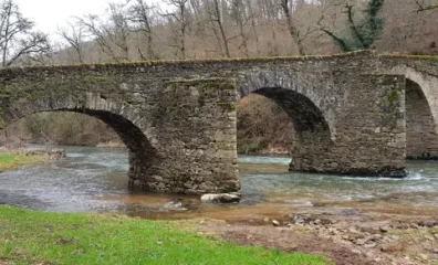
Randonnée "Croix de Nances - Bois d'enfer"
Parking: place du bourg 3h15 ? 11km ? 2* - elevation gain 200m ? Yellow/white and red markings between Castanié and Soleillagou A-From Place St Médard, pass the fountain, the post …
View details →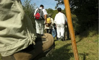
Randonnée "Entre Liort et Lieux"
Parking: Place de la Mairie 3h-11km-1*- ascent 400m ? yellow markings A-Join the church square and take the small road towards Bizergues for 200m. Follow a sunken track to the left…
View details →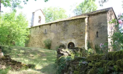
Randonnée "Le circuit des chapelles" - boucle 1
Parking: village square in front of the war memorial. 1* - yellow markings Loop 1: 1h ? 3.5km ? ascent 120m A-From the war memorial, take the road leading to the Verdun chapel (vis…
View details →
Randonnée "Roc de Miramont - Castelpers"
Parking: reception area in front of the village hall 3h- 10.5km ? 2* - elevation gain 320m ? yellow markings A-From the salle des fêtes parking lot (between St Just and Castelpers)…
View details →
Randonnée "La Chapelle des Planques"
From the hamlet of Baraque St Jean on the RN88, turn left on the old RN as far as the bridge over the Viaur. Parking: by the roadside on the left before the disused restaurant. 3h1…
View details →